Model: NA-M320C-CARD
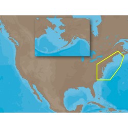
NA-M320 => Passamaquoddy Bay to Cape LookoutCoverage includes offshore bathymetric details from Passamaquoddy Bay, ME to Cape Lookout, NC. Coverage extends from the coastline out to the Atlantic Canyons - Hudson, Baltimore, Oceanographer and others. Fishing Contour Charts do not include coastal na..
$279.00
Model: NA-M321SDCARD
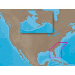
NA-M321 => Cape Henry to Apalachicola BayCoverage includes offshore bathymetric details from Cape Henry, VA to Apalachicola Bay, FL. Coverage extends from the coastline out to the offshore Atlantic Canyons - Norfolk, Washington and others. Some coverage of the Bahamas is also included, covering we..
$292.99
Model: NA-M420SDCARD
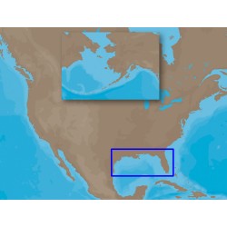
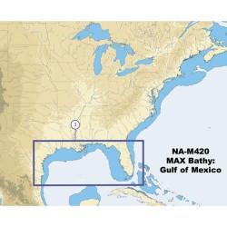
NA-M420 => Gulf of MexicoCoverage includes the offshore bathymetric details for the Gulf of Mexico from Key West, FL over and around to Brownsville, TX. Additional coverage up the eastern coast of Florida to Jacksonville is included. Some coverage of the Bahamas is also included, covering western ..
$292.99
Model: NA-M620SDCARD
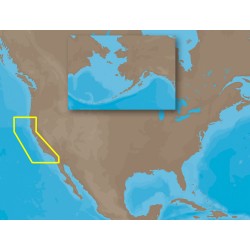
NA-M620 => San Diego to Cape BlancoCoverage includes the offshore bathymetric details for the coast of California and southern coast of Oregon, up to Cape Blanco. Complete coverage of the Channel Islands is also included. Fishing Contour Charts do not include coastal navigational features and are ..
$292.99
Model: NA-M621SDCARD
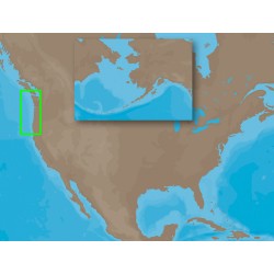
NA-M621 => Cape Blanco to Puget SoundCoverage includes the offshore bathymetric details for the coasts of Oregon and Washington. Coverage actually starts around the Klamath River delta in California and goes up to Cape Flattery, and around into Puget Sound. Coverage of the San Juan Islands up to P..
$292.99
Model: PC-M204SDCARD
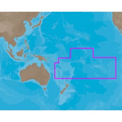
MAX PC-M204 - South Pacific Islands - SD CardCoverage Area: The South Pacific Islands Card Format: SD Card This product may not be returned to the original point of purchase. Please contact the manufacturer directly with any issues or concerns...
$328.99
Model: SA-M500SDCARD
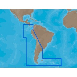
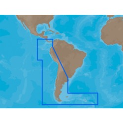
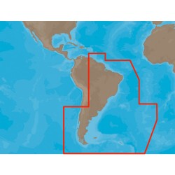
SA-M500 => Costa Rica to Chile to FalklandsCoverage starts at Bahia de Salinas on Costa Rica's Pacific coast, and extends south and east along the coasts of Panama, Colombia, Ecuador, Peru and Chile, wrapping around Cape Horn and back up along the Atlantic coast of Argentina, stopping at Quequen. C..
$292.99
Model: SA-M500C-CARD
SA-M500 => Costa Rica to Chile to FalklandsCoverage starts at Bahia de Salinas on Costa Rica's Pacific coast, and extends south and east along the coasts of Panama, Colombia, Ecuador, Peru and Chile, wrapping around Cape Horn and back up along the Atlantic coast of Argentina, stopping at Quequen. C..
$292.99
Model: SA-M501SDCARD
SA-M501 => Gulf of Paria to Cape HornCoverage starts at Quintero, Chile on the Pacific coast and extends south down the Chile border, wraps up around Cape Horn and continues up the Atlantic coasts of Argentina, Uruguay, Brazil, French Guiana, Suriname, Guyana and into Venezuela, ending at Punta Care..
$292.99
Model: NA-M420C-CARD
NA-M420 Gulf of Mexico Bathy Chart - C-CardGulf of Mexico coverage includes the offshore bathymetric details for the Gulf of Mexico from Key West, FL over and around to Brownsville, TX. Additional coverage up the eastern coast of Florida to Jacksonville is included. Some coverage of the Bahamas is a..
$279.00

