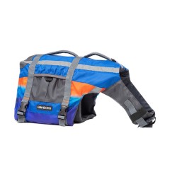
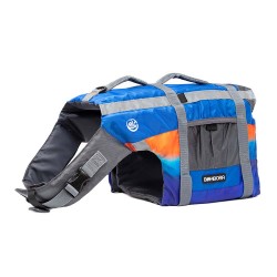
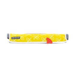
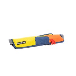
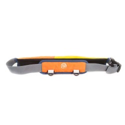
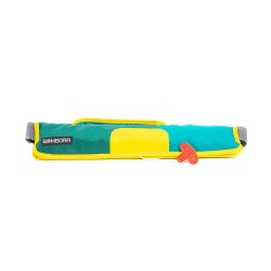
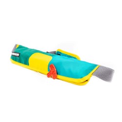
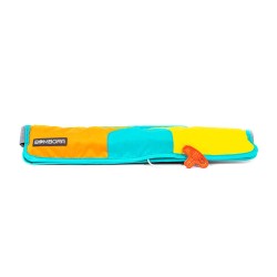
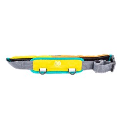
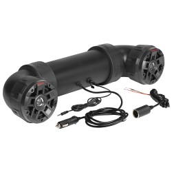
Brand: Bombora
Model: BVT-SNR-P-S
Small Pet Life Vest (12-24 lbs) - SunriseDesigned to keep your best friend safe, our Dog Vests made with marine-grade webbing and velcro give your pup all the protection they need without getting in the way of their doggie paddle. Whether your canine companion is a strong swimmer taking on day-long ..
$56.99
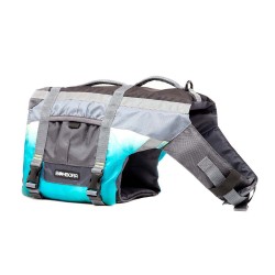
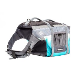
Brand: Bombora
Model: BVT-TDL-P-S
Small Pet Life Vest (12-24 lbs) - TidalDesigned to keep your best friend safe, our Dog Vests made with marine-grade webbing and velcro give your pup all the protection they need without getting in the way of their doggie paddle. Whether your canine companion is a strong swimmer taking on day-long ka..
$56.99
Brand: Bombora
Model: KAY1619
Type V Inflatable Belt Pack - Kayaking16-gram Inflatable Belt PackUnited States Coast Guard Approved Type V Personal Flotation Device with Type III Performance, Must Be Worn to be Legal.Bombora's personal flotation devices deliver more freedom, ensuring less gets in the way of your adventure. We off..
$73.99
Brand: Bombora
Model: RAD1619
Type V Inflatable Belt Pack - Rad16-gram Inflatable Belt PackUnited States Coast Guard Approved Type V Personal Flotation Device with Type III Performance, Must Be Worn to be Legal.Bombora's personal flotation devices deliver more freedom, ensuring less gets in the way of your adventure. We offer ty..
$73.99
Brand: Bombora
Model: REN1619
Type V Inflatable Belt Pack - Renegade16-gram Inflatable Belt PackUnited States Coast Guard Approved Type V Personal Flotation Device with Type III Performance, Must Be Worn to be Legal.Bombora's personal flotation devices deliver more freedom, ensuring less gets in the way of your adventure. We off..
$74.99
Brand: Bombora
Model: RET1619
Type V Inflatable Belt Pack - Retro16-gram Inflatable Belt PackUnited States Coast Guard Approved Type V Personal Flotation Device with Type III Performance, Must Be Worn to be Legal.Bombora's personal flotation devices deliver more freedom, ensuring less gets in the way of your adventure. We offer ..
$88.99
Brand: Bombora
Model: SAI1619
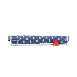
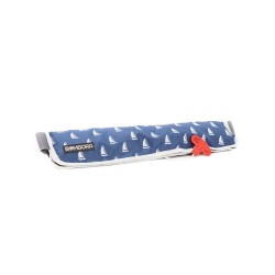
Type V Inflatable Belt Pack - Sailing16-gram Inflatable Belt PackUnited States Coast Guard Approved Type V Personal Flotation Device with Type III Performance, Must Be Worn to be Legal.Bombora's personal flotation devices deliver more freedom, ensuring less gets in the way of your adventure. We offe..
$73.99
Brand: Bombora
Model: SUP1619
Type V Inflatable Belt Pack - SUPing16-gram Inflatable Belt PackUnited States Coast Guard Approved Type V Personal Flotation Device with Type III Performance, Must Be Worn to be Legal.Bombora's personal flotation devices deliver more freedom, ensuring less gets in the way of your adventure. We offer..
$88.99
Brand: Bombora
Model: BVT-SNR-Y
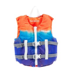
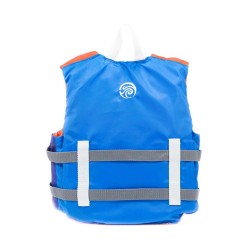
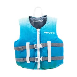
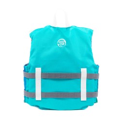
Youth Life Vest (50-90 lbs) - SunriseBuilt with ultimate comfort and safety in mind, our United States Coast Guard Approved Type 111 kid vest collection of youth and child PFDs deliver maximum coverage for the moments that matter. Vigorously-tested and innovative products remain our top priority, bu..
$48.99
Brand: Bombora
Model: BVT-TDL-Y
Youth Life Vest (50-90 lbs) - TidalBuilt with ultimate comfort and safety in mind, our United States Coast Guard Approved Type 111 kid vest collection of youth and child PFDs deliver maximum coverage for the moments that matter. Vigorously-tested and innovative products remain our top priority, but ..
$40.99
Brand: Boss Audio
Model: UTV4B
24" UTV4B Powersports Sound Bar - Black - 350WWith the Boss UTV4B sound bar, you can add all kinds of great features to your UTV, golf cart, RV or boat without breaking the bank. This amplified sound system is designed specifically for off-road vehicle use, with rugged construction, built-in B..
$219.99
Brand: Boss Audio
Model: ATV6.5B
26" ATV6.5B Powersports Sound Bar - Black - 450WWith the Boss ATV6.5B sound bar, you can add all kinds of great features to your UTV, golf cart, RV or boat without breaking the bank. This amplified sound system is designed specifically for off-road vehicle use, with rugged construction, built-..
$114.99

