Model: MSD/902P-2
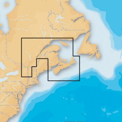
Platinum+ - Nova Scotia & St. Lawrence River - microSD™/SD™Marine chartsOne foot contours inshore and nearshore3’ and 6’ contours offshore beyond 90’Daily updates and advanced features for one yearHead out with confidence! All the same marine content and advanced featur..
$375.99
Model: 010-C1365-40
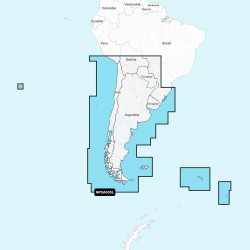
NPSA005L - Chile, Argentina and Easter IslandGet the world’s No. 1 choice in marine mapping - with the best, most up-to-date Navionics Platinum+ cartography on your compatible chartplotter. For offshore or inland waters, this all-in-one solution offers detail-rich integrated mapping of co..
$376.99
Model: 010-C1367-40
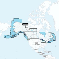
NPUS004R - Canada & AlaskaGet the world’s No. 1 choice in marine mapping - with the best, most up-to-date Navionics Platinum+ cartography on your compatible chartplotter. For offshore or inland waters, this all-in-one solution offers detail-rich integrated mapping of coastal waters, lakes..
$146.99
Model: 010-C1368-40
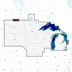
NPUS005R - U.S. NorthGet the world’s No. 1 choice in marine mapping - with the best, most up-to-date Navionics Platinum+ cartography on your compatible chartplotter. For offshore or inland waters, this all-in-one solution offers detail-rich integrated mapping of coastal waters, lakes, riv..
$236.99
Model: 010-C1369-40
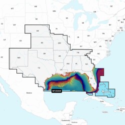
NPUS006R - U.S. SouthGet the world’s No. 1 choice in marine mapping - with the best, most up-to-date Navionics Platinum+ cartography on your compatible chartplotter. For offshore or inland waters, this all-in-one solution offers detail-rich integrated mapping of coastal waters, lakes, riv..
$236.99
Model: 010-C1370-40
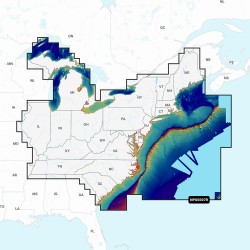
NPUS007R - U.S. EastGet the world’s No. 1 choice in marine mapping - with the best, most up-to-date Navionics Platinum+ cartography on your compatible chartplotter. For offshore or inland waters, this all-in-one solution offers detail-rich integrated mapping of coastal waters, lakes, rive..
$236.99
Model: 010-C1371-40
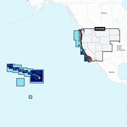
NPUS008R - U.S. WestGet the world’s No. 1 choice in marine mapping - with the best, most up-to-date Navionics Platinum+ cartography on your compatible chartplotter. For offshore or inland waters, this all-in-one solution offers detail-rich integrated mapping of coastal waters, lakes, rive..
$236.99
Showing 1 to 7 of 7 (1 Pages)

