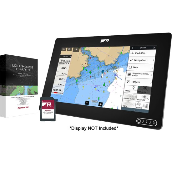
LightHouse Chart North America
LightHouse Charts North America chart coverage includes coastlines of the contiguous United States, Alaska, Hawaii, thousands of inland freshwater bodies of water, and the Bahamas. The chart also includes The Great Lakes, British Columbia, The St. Lawrence River, the coastlines of Newfoundland, Nova Scotia, Prince Edward Island, and New Brunswick.
LightHouse Charts brings a level of clarity and control to marine navigation. Created from official hydrographic chart sources, LightHouse Charts offer maximum readability, intuitive navigation, and superior quality. Four distinct color palettes provide the best possible viewing conditions around the clock, and chart symbol controls give your customers the power to customize the charts to their personal preference.
IMPORTANT Tech Note: Please ensure your Axiom displays are running the latest operating system when using LightHouse Charts. LightHouse Fremantle 3 is required for running LightHouse Charts North America.

