Model: NA-M021C-CARD
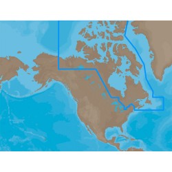
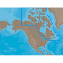
NA-M021 => Canada North and EastCoverage of the Arctic and Atlantic coasts of Canada including Hudson Bay, Newfoundland, the Gulf of St. Lawrence, Nova Scotia and the Bay of Fundy. Also includes coverage of the St. Lawrence River and eastern Lake Ontario, MacKenzie River, Great Bear Lake and all of..
$291.99
Model: NA-M021SDCARD
NA-M021 => Canada North and EastCoverage of the Arctic and Atlantic coasts of Canada including Hudson Bay, Newfoundland, the Gulf of St. Lawrence, Nova Scotia and the Bay of Fundy. Also includes coverage of the St. Lawrence River and eastern Lake Ontario, MacKenzie River, Great Bear Lake and all of..
$292.99
Model: NA-M022C-CARD
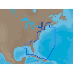
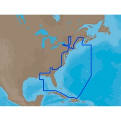
NA-M022 => USA East Coast and BahamasCoverage of the United States Atlantic coast from Passamaquoddy Bay, ME down to Key West, FL, with extended coverage into the Gulf of Mexico over to Perdido Bay, FL. Includes coverage of Bermuda and all of the Bahamas. Also includes coverage of the Hudson River..
$292.99
Model: NA-M022SDCARD
NA-M022 => USA East Coast and BahamasCoverage of the United States Atlantic coast from Passamaquoddy Bay, ME down to Key West, FL, with extended coverage into the Gulf of Mexico over to Perdido Bay, FL. Includes coverage of Bermuda and all of the Bahamas. Also includes coverage of the Hudson River..
$292.99
Model: NA-M023C-CARD
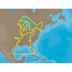
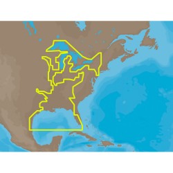
NA-M023 => Gulf of Mexico, Great Lakes and RiversCoverage of the Gulf states, starting from Boca Raton, FL, down to Key West, FL, then back up and around the Gulf to Brownsville, TX. Also includes coverage of all the Great Lakes: Erie, Superior, Ontario, Huron and Michigan. Coverage of the Great L..
$292.99
Model: NA-M023SDCARD
NA-M023 => Gulf of Mexico, Great Lakes and RiversCoverage of the Gulf states, starting from Boca Raton, FL, down to Key West, FL, then back up and around the Gulf to Brownsville, TX. Also includes coverage of all the Great Lakes: Erie, Superior, Ontario, Huron and Michigan. Coverage of the Great L..
$292.99
Model: NA-M024C-CARD
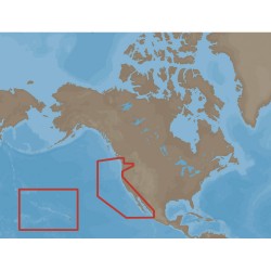
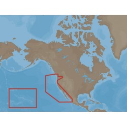
NA-M024 => USA West Coast and HawaiiCoverage of the Pacific Coast of the United States, including all of the coasts of California, Oregon and Washington. Coverage of Baja California and Mexico down to Puerto Vallarta. Detail of the Columbia River, Sacramento River, Willamette River. Snake River a..
$292.99
Model: NA-M024SDCARD
NA-M024 => USA West Coast and HawaiiCoverage of the Pacific Coast of the United States, including all of the coasts of California, Oregon and Washington. Coverage of Baja California and Mexico down to Puerto Vallarta. Detail of the Columbia River, Sacramento River, Willamette River. Snake River a..
$292.99
Model: NA-M025C-CARD
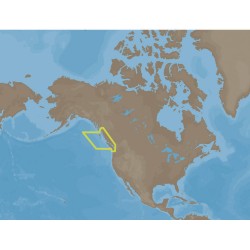
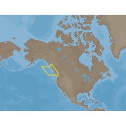
NA-M025 => Canada WestCoverage of British Columbia, Puget Sound and the San Juan Islands. Full coverage of Vancouver Island and the Queen Charlotte Islands is also included. Full coverage of Puget Sound and the Strait of Juan De Fuca are also present. Extended coverage of the Vancouver Harbor are..
$292.99
Model: NA-M025SDCARD
NA-M025 => Canada WestCoverage of British Columbia, Puget Sound and the San Juan Islands. Full coverage of Vancouver Island and the Queen Charlotte Islands is also included. Full coverage of Puget Sound and the Strait of Juan De Fuca are also present. Extended coverage of the Vancouver Harbor are..
$292.99
Model: NA-M026C-CARD
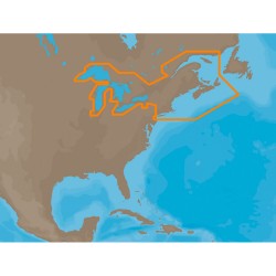
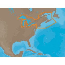
NA-M026 => Great Lakes, Northeast Coast and ApproachesCoverage of the Great Lakes, St. Lawrence River and Northeast United States. Coverage of the Great Lakes also includes Fox River and Lake Winnebago, Lake St. Clair, Rideau Canal, Ottawa River and the Trent-Severn Waterway. Includes all coastal ..
$292.99
Model: NA-M026SDCARD
NA-M026 => Great Lakes, Northeast Coast and ApproachesCoverage of the Great Lakes, St. Lawrence River and Northeast United States. Coverage of the Great Lakes also includes Fox River and Lake Winnebago, Lake St. Clair, Rideau Canal, Ottawa River and the Trent-Severn Waterway. Includes all coastal ..
$292.99

